PushPin Class |
Learn more about Verizon Connect GeoBase.
Get information about the latest release
A light-weight object that can be quickly drawn on a map.
Namespace: Telogis.GeoBase
Assembly: geobase.net (in geobase.net.dll) Version: 4.99.0.0
The PushPin type exposes the following members.
| Name | Description | |
|---|---|---|
| PushPin(LatLon) |
Create a new pushpin at the given location (as a LatLon).
| |
| PushPin(LatLon, Int32) |
Create a new pushpin at the given location (as a LatLon) with a selected icon.
|
| Name | Description | |
|---|---|---|
| AlwaysOnTop |
Controls whether labels are always shown above other map elements.
| |
| Icon |
Gets or sets the Icon number. See IconCache for details.
| |
| Location |
Gets or sets the location (as a LatLon) of the push pin.
| |
| RequiredRendermodes |
Gets the RenderMode required by this PushPin.
|
| Name | Description | |
|---|---|---|
| Equals | Determines whether the specified object is equal to the current object. (Inherited from Object.) | |
| GetHashCode | Serves as the default hash function. (Inherited from Object.) | |
| GetType | Gets the Type of the current instance. (Inherited from Object.) | |
| Render |
Render pushpins on the given map.
| |
| ToString | Returns a string that represents the current object. (Inherited from Object.) |
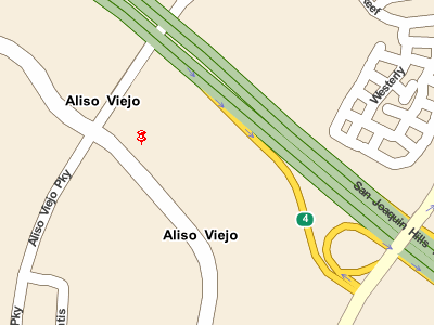
A push pin is a light-weight object that can be drawn on an IMap to display information. An example of this is the BalloonPushPin which can be used to show name and address details for a given location on the map. Push pins can be made to respond to mouse clicks by implementing the IMapMouseHandler interface.
Related articles: Map Control Tutorial, Mouse Events.